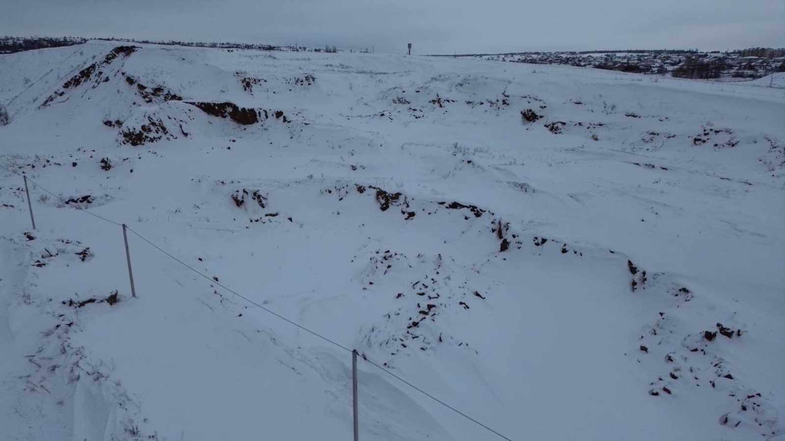
Inspectors of the Kama Department of the Ministry of Ecology have identified a large illegal quarry
13 March 2024, Wednesday

Inspectors of the Kama Territorial Administration of the Ministry of Ecology during the regional state geological control in the Mamadyshsky district, on the banks of the Vyatka River, near Mamadysh, identified an unauthorized quarry. The total area of illegal mining is 1.4 hectares, the depth of the quarry is from 4 to 10 meters.
According to the information of the public cadastral map, the specified territory is not delimited. The right holder of the land plot is the Executive Committee of the Mamadyshsky district.
A warning was sent to the Executive Committee of the Mamadyshsky district about the inadmissibility of violating mandatory requirements of environmental legislation.
Share:
LATEST NEWS
23
December 2025
According to good tradition, the Ministry of Ecology hosted a New Year's tree for the children of the department's employees.
Inspectors of the Central Department, together with representatives of the Kazan Interdistrict Environmental Prosecutor's Office and the Office of the Federal Service for State Registration, Cadastre and Cartography of the Republic of Tatarstan, conducted a survey of the territory of the Zelenodolsk district.
The events were held in the Zainsky district. The commission included inspectors from the Zakamsky Department of the Ministry of Ecology of the Republic of Tatarstan.
The Ministry of Ecology of the Republic of Tatarstan received an appeal from residents about violations of environmental legislation in the Yelabuga district. Inspectors from the Kama Department went to the site and confirmed the fact of dumping production and consumption waste into the territory of the Bug River water protection zone.
SUBSCRIBE FOR NEWS
All content on this site is licensed under
Creative Commons Attribution 4.0 International
If you see a mistake,
please select the word or sentence and press CTRL+ENTER